As you might be aware a tropical super typhoon (PHAILIN) has been hitting India earlier this month.Almost immediately, Nicolas Reul from IFREMER and Joe Tenerelli from CLS detected the tracks on the ocean as SMOS can very effectively see the wind speed underneath hurricanes and SMOS spatial and temporal resolution very adequate to monitor such events (see previous post on the topic by Nicolas and Joe and “see” the wind speed (sea state) trough rain and clouds).
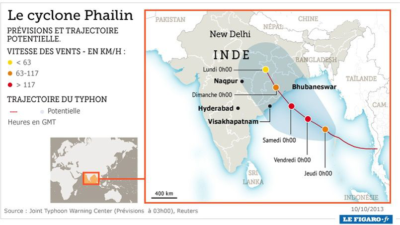
To our surprise during a short time span (October 10 to 15) three such typhoons where “seen” by SMOS namely and from East to West WIPHA NARI and PHAILIN Shortly after the typhoon Phailin did hit India s reported here by the Figaro paper
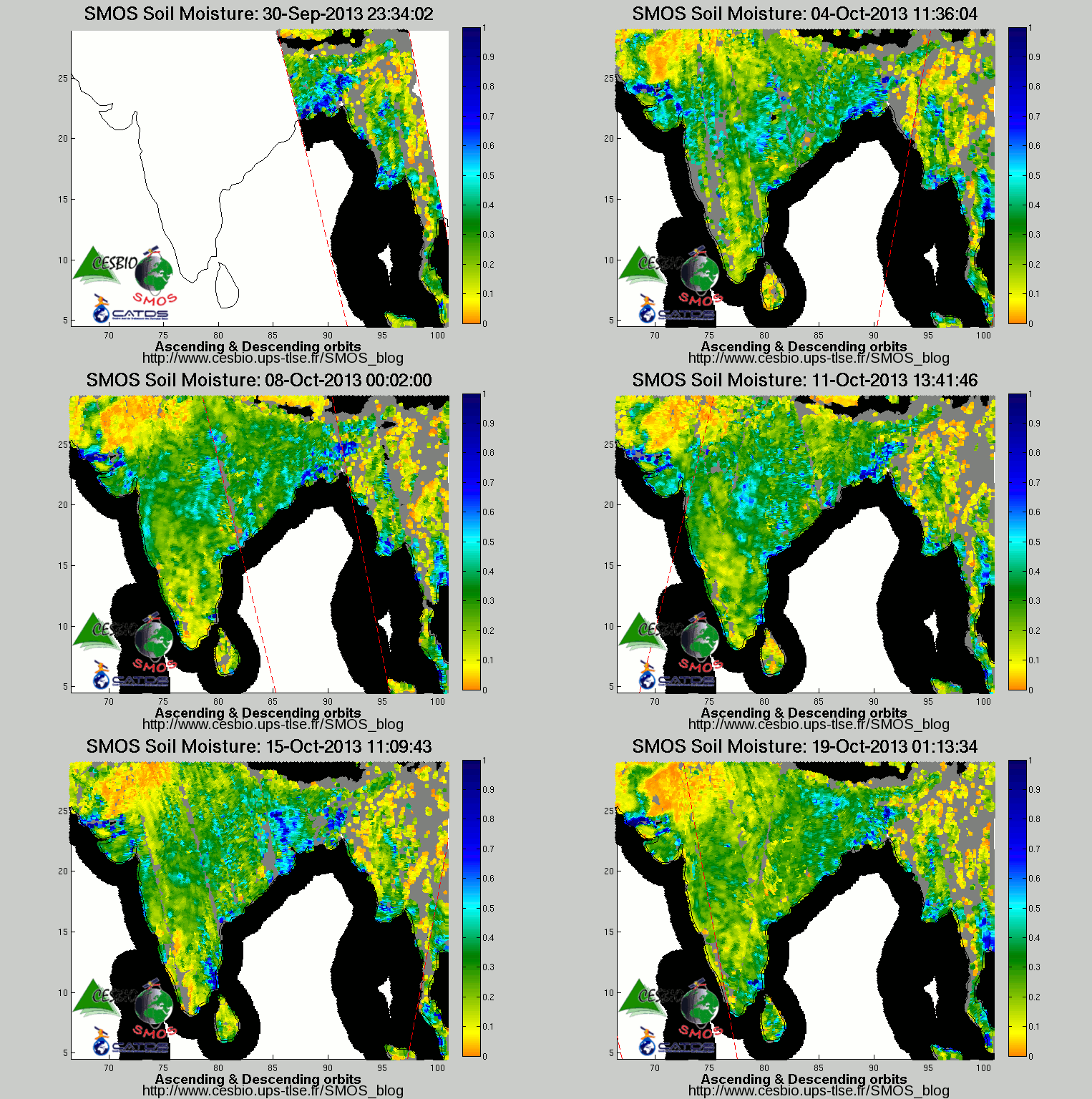
Here again SMOS was able to monitor it and Philippe Richaume from CESBIO did track the Typhoon as it traveled through the continent
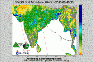
Click to start animation
The animation shows how the typhoon impacts land before it disappears and this in spite of the monsoon period (see the Bangal Delta area for instance with water logged areas) The orbits ‘ascending and descending are added as time passes and are materialized by the red dotted lines. The SMOS retrieval algorithm find sometimes that there is too much water and changes the classification from land to wetland giving different retrievals.
The Typhoon position and trajectory are indicated for clarity (source NOAA Pearl Harbor Hurricane center). Note that the expected trajectory forecast stops when the typhoon hits land; It appears that it went more NE -ENE rather than NNW
We will provide you with updated information very soon


