As posted last June our good old faithful LEWIS (Lemaitre et al, 2004) after spending 9 years in SMOSREX near Toulouse underwent maintenance and updating and was moved to Saint Hilaire du Touvet near Grenoble by François Lemaître and Arnaud Mialon.
The road trip was arduous as LEWIS is not small to say the least while it is “a long and winding road” to the top…
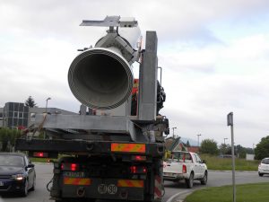
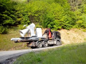
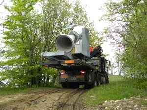
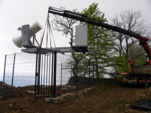 Once on site (in spite of the snow melt mud) the whole set up with LEWIS and its supporting frame was hoisted and put in place…And then the connecting testing etc was performed by François while LEWIS was overhanging the valley below….gauging the situation. Enventually Arnaud and François got everything ship shape and the fine tuning started.The instrument can scan the valley below (Azimuth and elevation and will make continuous measurements on selected spots. Calibration is done as was done during SMOS REX with a few automatic sky measurements performed using a reflective plate (and manual one aiming directly at the sky). In Valley ground measurements are performed on the selected sites and our COSMOS probe will move from Toulouse next spring.
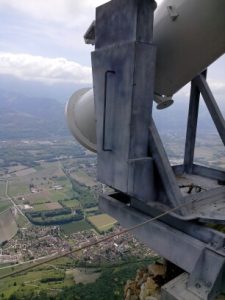
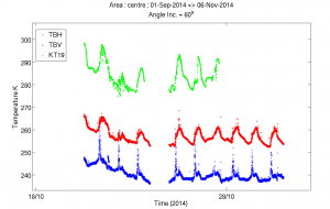
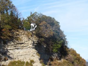 We are collaborating with Thierry Pellarin from LTHE Grenoble for this campaign.First results are encouraging. There are some small RFI but François is devising a scheme to make sure we identify them. The connection between the instruments has also hiccups but here as well Arnaud and François identified the cause and it should be corrected soon.Our contraption is located close to some para-gliders and we must say they were a bit mystified at the beginning… but the pictures they take from up there are quite nice (this picture was taken by Christian).Below some first measurements made by LEWIS in St Hilaire du Touvet on the left hand side the temporal plots acquired over a forest and lake mix footprint (some RFI visible). In green the Infra red temperatures and in Red and blue respectively the V and H pol. On the right hand side the view seen by the radiometer when doing these measurements.
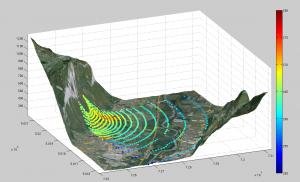
 To finish this story Arnaud made a scan of the whole area and you will see the brightness temperatures (V pol) of the valley as seen from LEWIS either from above (RHS) or with the perspective (LHS) not the industrial area (coldish due to metallic roofs) the warmish urbanised areas.
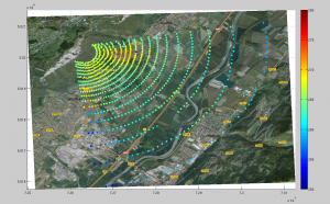 And now the next step is to do some science with this set up… so keep posted!The funding was partly from SMOS CESBIO but also from CNES TOSCA programme. The Mairie was of very big help and made all what was possible to enable this experiment. The local companies were of great help too and did a mint job … A very big thank to all of them.ReferenceLemaître, F., J.-C. Poussière, Y. H. Kerr , M. Dejus, R. Durbe, P. de Rosnay and J.-C. Calvet (2004). “Design and test of the ground based l band radiometer for estimating water in soils (lewis).” IEEE Geoscience and Remote Sensing 42(8): 1666-1676.
