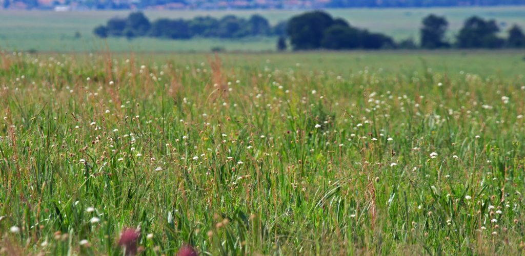
Crop Irrigation, a new project labeled by the Space Clim...
=> The Space Climate Observatory (SCO) is an international initiative of the One Planet Summit, launched in June 2019, which […]
=> The Space Climate Observatory (SCO) is an international initiative of the One Planet Summit, launched in June 2019, which […]
=> L‘ Observatoire Spatial du Climat (SCO pour Space Climate Observatory) est une initiative internationale du One Planet Summit, lancée […]
In the previous post, Olivier advocated for the open data policy in remote sensing. Although Oliver is facing some actual […]
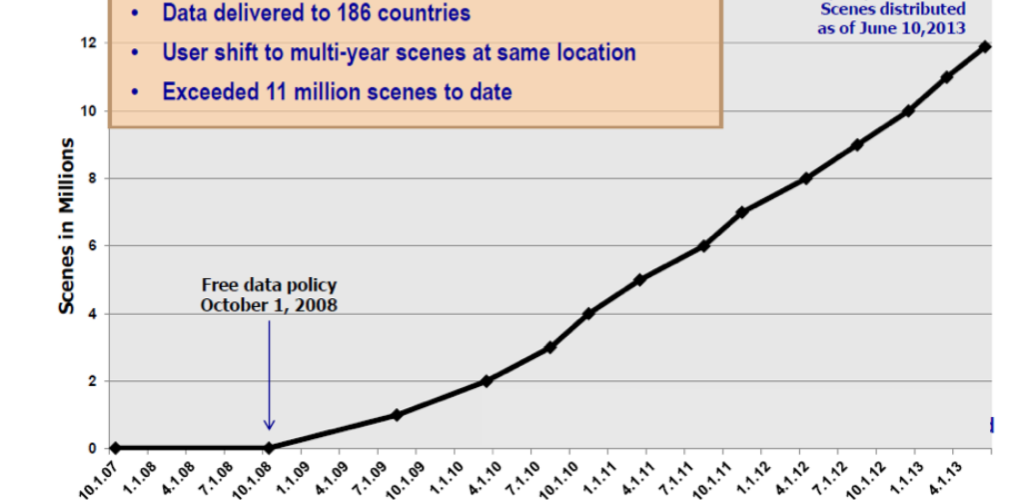
As for most users of Copernicus or LANDSAT data I guess, the advantages of free and open remote sensing data […]
Avec le Groupement d’Intérêt Scientifique Bretagne Télédétection (GIS BRETEL) et en lien avec le dispositif VIGISAT, DINAMIS lance l’enquête nationale […]
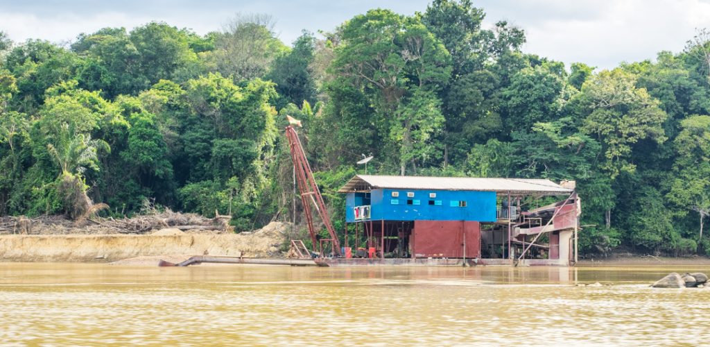
Le Suriname, comme l’ensemble du plateau des Guyanes, est touché depuis plus de trente ans par le fléau de l’orpaillage […]
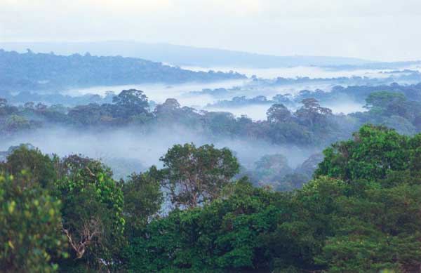
The tropical forest is an important carbon sink which also hosts high biodiversity. Monitoring forest loss is therefore a major […]
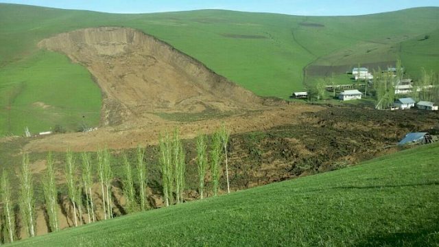
I started to look at landslides in satellite images when I saw this tweet by @RemotePixel: July 11th 2016 Sentinel-2 […]

S. P. Hicks (@seismo_steve) wrote for Nature Geoscience a nice piece « Geoscience analysis on Twitter » where he shares his experience […]
Sentinel-2 image time series are widely used to map land cover, see for instance here or here. However, they can […]