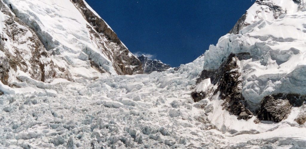
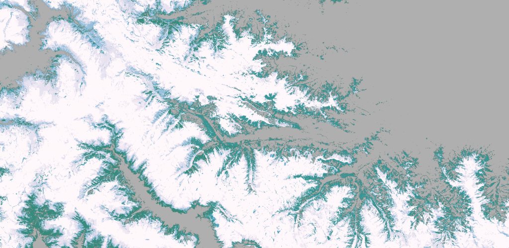
Khumbu icefall in 4D
This video shows all available Venµs images since launch over the Khumbu icefall near Mt Everest (109 images). The images […]
This video shows all available Venµs images since launch over the Khumbu icefall near Mt Everest (109 images). The images […]

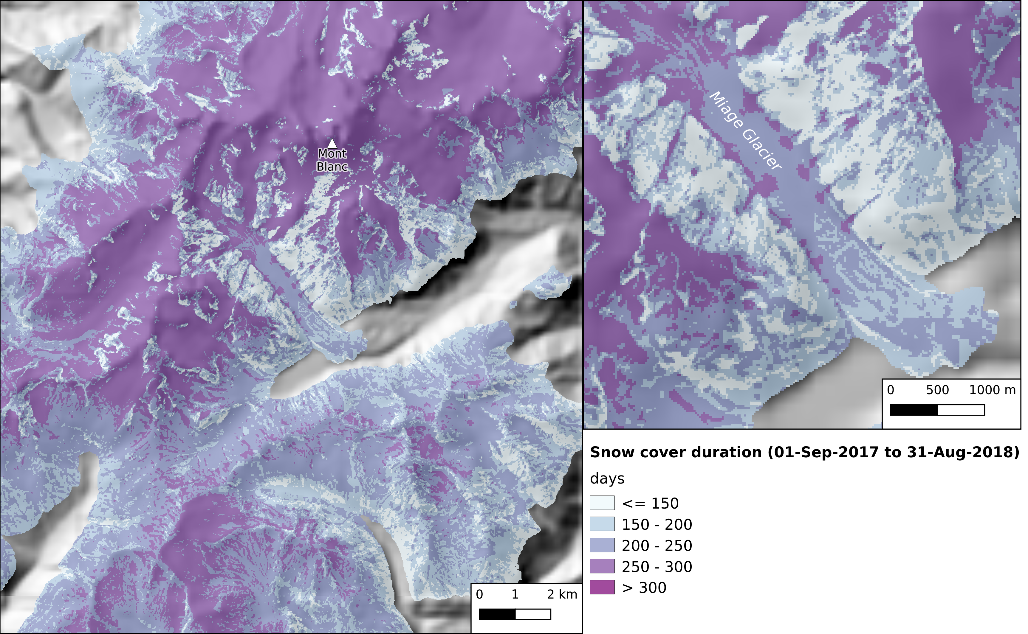
In preparation for the next Pan European high resolution snow and ice monitoring service, I have upgraded the let-it-snow (LIS) […]
Pour le Conservatoire botanique national alpin j’ai généré les cartes de durée d’enneigement par mois (avril, mai, juin et juillet) […]

The European Environment Agency (EEA) has selected a consortium led by Magellium to implement the next Pan European high resolution […]
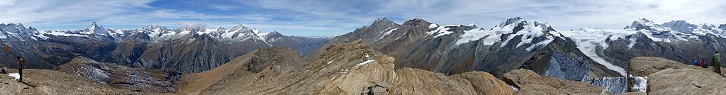
Two years ago I posted an animation of the snow cover area evolution near Zermatt, Switzerland from Sentinel-2 L2A data […]
Récemment j’ai extrait la carte de la durée de l’enneigement faite à partir des produits neige Theia pour la Direction […]

Recently I generated one year of snow maps from Sentinel-2 in the Canadian Rockies for a talented colleague who is […]
From Mont Valier to la Roca Foradada, on April 30 (left) and May 6th, 2019(right) 3D View : download KMZ […]


Du Mont Valier à la Roca Foradada, le 30 avril (à gauche) et le 6 mai 2019 (à droite) Visualisation […]
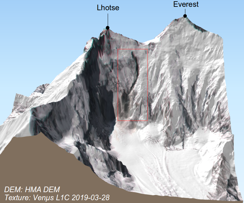
I noted a curious dark trace on the steep slope below South Col between Mount Everest and Lhotse in this […]