
Snow cover duration in the Canadian Rockies from Sentinel...
Recently I generated one year of snow maps from Sentinel-2 in the Canadian Rockies for a talented colleague who is […]
Recently I generated one year of snow maps from Sentinel-2 in the Canadian Rockies for a talented colleague who is […]
Marie Ballère started in October 2018 a Ph.D. funded by WWF and CNES. The aim of her Ph.D. is to […]
From Mont Valier to la Roca Foradada, on April 30 (left) and May 6th, 2019(right) 3D View : download KMZ […]


Du Mont Valier à la Roca Foradada, le 30 avril (à gauche) et le 6 mai 2019 (à droite) Visualisation […]
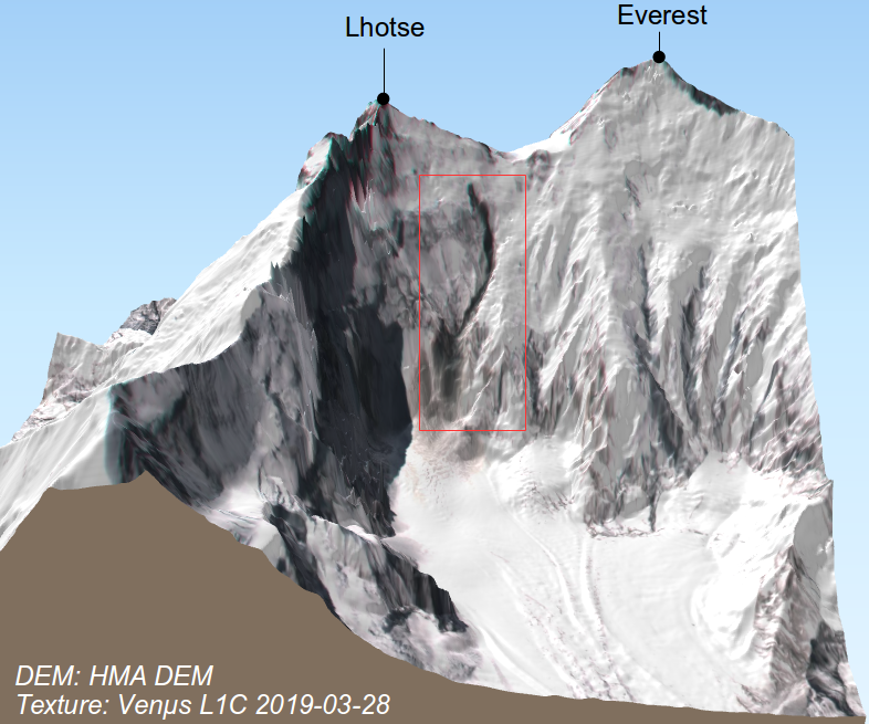
I noted a curious dark trace on the steep slope below South Col between Mount Everest and Lhotse in this […]
Le 1er avril est la date souvent utilisée par les hydrologues pour caractériser le stock de neige disponible avant la […]
Le Syndicat Mixte d’Aménagement de la Vallée de la Durance [1] commence à utiliser les cartes d’enneigement produites par Theia […]

The Polar Geospatial Center has put online a nice web mapping interface to browse and download trimetrogon aerial (TMA) photography […]

Several areas in Nebraska experienced record flooding this past week.
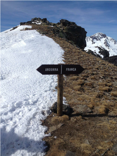
The animation below shows the evolution of the snow cover area near Andorra la Vella, the highest capital city in […]