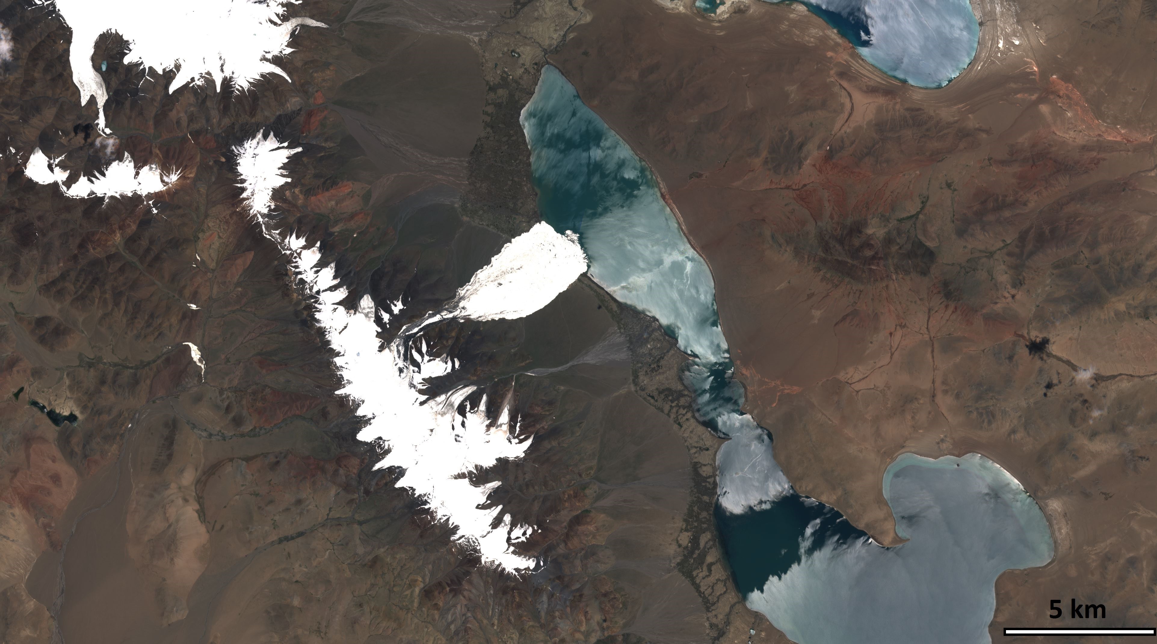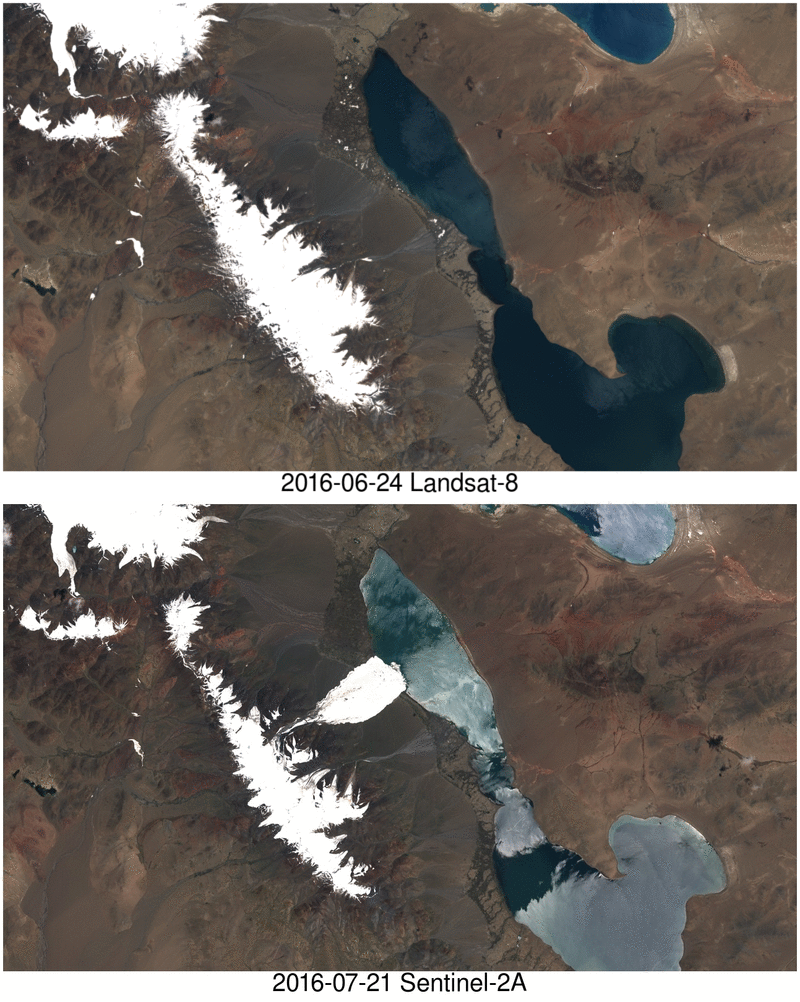
After reading my previous post about the Rutog ice avalanche, my distinguished colleagues Antoine R. and Olivier H. challenged me to look for a pre-event image to better highlight the avalanche area. The closest clear-sky image that I could find is a Landsat-8 image that was acquired on June 24 (23 days before the slide).

Both images were taken on two different dates, by two different sensors, with different view angles and ortho-rectified by two different agencies… yet they appear to be very well co-registrated at least at this scale! A good co-registration of the Sentinel-2 and Landsat datasets is important to maximize our capacity to monitor the land surface changes. For further reading about the current accuracy of the Landsat/Sentinel-2 coregistration in mountain regions see: Kääb, A., Winsvold, S. H., Altena, B., Nuth, C., Nagler, T., & Wuite, J. (2016). Glacier Remote Sensing Using Sentinel-2. Part I: Radiometric and Geometric Performance, and Application to Ice Velocity. Remote Sensing, 8(7), 598. http://doi.org/10.3390/rs8070598

If I’m not mistaken, there was a partnership between agencies to share the orthorectification algorithm, since the intention was the same … maximize the return visits (temporal resolution) of both.Very cool post
The images shown above and more are publicly available and citable here: https://doi.org/10.5281/zenodo.154397