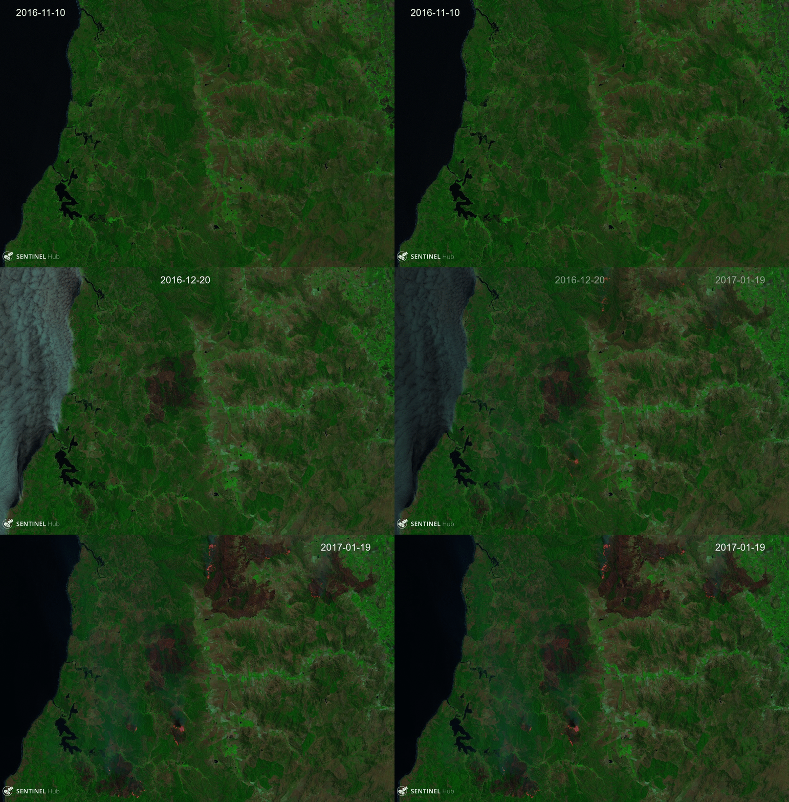
Massive wildfires are in raging Central Chile [1]. Many satellite images of the burning areas were posted in social media, and not only by the official communication outlets of the space agencies [2]. One example is this stunning MODIS image, which was tweeted by @anttilip a few hours after its acquisition by Terra.There is a growing crowd of remote sensing geeks, who track the evolution of our planet using satellite imagery. This is due to the ever increasing availability of satellite imagery, the distribution of these data as open data, and the development of applications like EOSDIS Worldview or Sentinel-Playground, which enable to explore petabytes of multispectral images in a web browser, without the hassle of downloading and processing the images. These recent advances will undoubtedly contribute to raise awareness about the impact of human activities on the environment, despite all the efforts of Donald Trump’s administration.
[2] Image of the Day: Fires Blaze in Chile, 24 Jan 2017 http://earthobservatory.nasa.gov/IOTD/view.php?id=89496
