
Upgrade of let-it-snow to compute the fractional snow cover
In preparation for the next Pan European high resolution snow and ice monitoring service, I have upgraded the let-it-snow (LIS) […]
In preparation for the next Pan European high resolution snow and ice monitoring service, I have upgraded the let-it-snow (LIS) […]
Pour le Conservatoire botanique national alpin j’ai généré les cartes de durée d’enneigement par mois (avril, mai, juin et juillet) […]

The European Environment Agency (EEA) has selected a consortium led by Magellium to implement the next Pan European high resolution […]
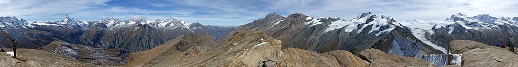
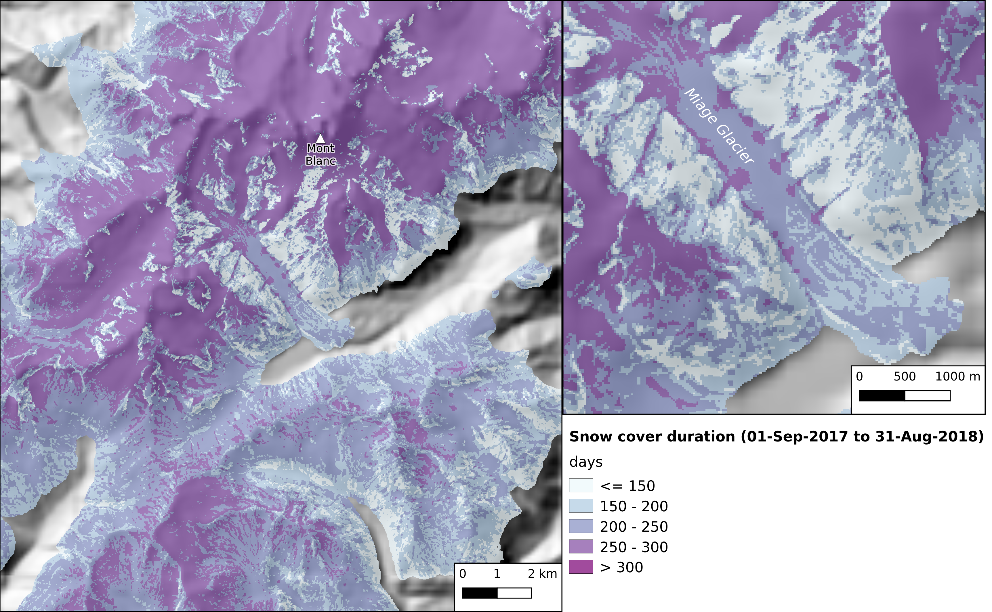
Two years ago I posted an animation of the snow cover area evolution near Zermatt, Switzerland from Sentinel-2 L2A data […]
Récemment j’ai extrait la carte de la durée de l’enneigement faite à partir des produits neige Theia pour la Direction […]
Le 1er avril est la date souvent utilisée par les hydrologues pour caractériser le stock de neige disponible avant la […]

Several areas in Nebraska experienced record flooding this past week.
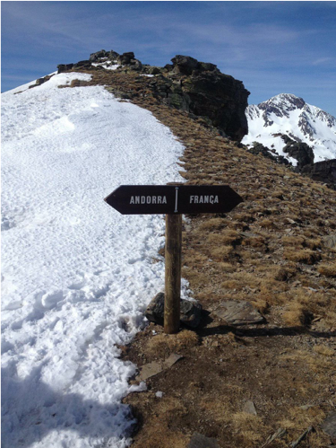
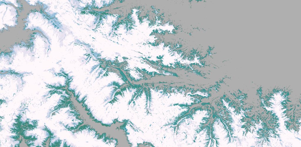
The animation below shows the evolution of the snow cover area near Andorra la Vella, the highest capital city in […]

L’enneigement est plutôt bon cette année dans les Alpes comme le remarque le chef du centre Météo-France des Alpes du […]
The snow cover is not always white. Sometimes it is orange, sometimes it is black. The images below were captured […]